Pacific Northwest National Scenic Trail
1,200 mi long · across 3 states · centroid 71 mi from Spokane
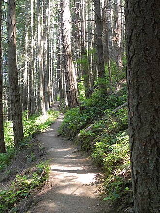
The Pacific Northwest National Scenic Trail runs roughly 1,200 miles from the Continental Divide in Glacier National Park, Montana, west through Idaho's panhandle and Washington's North Cascades, ending on the Pacific coast at Cape Alava in Olympic National Park. Designated in 2009, it is one of the youngest and most remote National Scenic Trails.
- States
- Montana, Idaho, Washington
- Length
- 1,200 mi
- Trail type
- National Scenic Trail
- Network
- National (nwn)
- Centroid nearest city
- Spokane, WA · 71 mi · ~2.0 hr drive
- Centroid coords
- 48.6669°, -117.6906°
- Official site
- pnt.org
- OSM relations
- 4 sub-relations on OpenStreetMap
Termini
Eastern terminus: Glacier National Park, Montana.
Western terminus: Olympic National Park, Washington.
Plan your hike
Maps + permits: long-distance trails like this often require permits for through-hiking, backcountry camping, or specific sections (especially in National Parks). Check with the maintaining organisation listed above and the relevant land manager before booking travel.
Water + supplies: water sources vary seasonally on most U.S. trails. Carry a filter and consult current trail-condition reports — through-hiker journals (PCT-L, AT Reddit, etc.) and the maintaining organisation publish regular updates.
When to go: hiking seasons vary widely with elevation, latitude, and snowpack. Through-hikers traditionally start the AT in March-April (Springer northbound) and the PCT in late April (Campo northbound). High-elevation western trails (CDT, JMT, Wonderland) generally aren't passable until July.
If you've hiked Pacific Northwest National Scenic Trail and have current notes (water sources, trail closures, permit changes), tell us at /contact — we update pages as we learn.
Stay nearby
Other trails within 50 miles
Sullivan Lake National Recreation Trail
21 miles from this trail's centroid
Thompson Ridge
25 miles from this trail's centroid
Trout Lake Trail #17
26 miles from this trail's centroid
Emerald Lake Trail
26 miles from this trail's centroid
Wapaloosie
35 miles from this trail's centroid
Kettle Crest Trail North
35 miles from this trail's centroid
Sources
Trail data on this page is compiled from OpenStreetMap contributors (ODbL), the maintaining organisation's public-facing materials, and Wikipedia (CC BY-SA where excerpts are quoted). Distance, terminus, and descriptive text for nationally-designated trails are hand-curated from federal land-manager websites and trail-association sources. We do not modify the underlying data; this page presents what is already publicly recorded. To suggest corrections, see our methodology page.