Superior Hiking Trail
310 mi long · in Minnesota
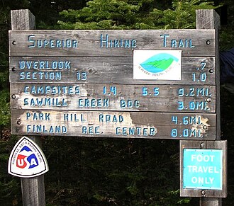
The Superior Hiking Trail runs 310 miles along the ridgeline above Lake Superior on Minnesota's North Shore, from the Wisconsin border to the Canadian border. Built between 1986 and 2017, it is maintained by the Superior Hiking Trail Association and intersects eight Minnesota state parks.
- States
- Minnesota
- Length
- 310 mi
- Trail type
- Long-distance trail
- Network
- Regional (rwn)
- Centroid nearest city
- Minneapolis, MN · 190 mi · ~5 hr drive
- Centroid coords
- 47.3034°, -91.1341°
- Official site
- superiorhiking.org
- OSM relations
- 1 sub-relations on OpenStreetMap
Termini
Southern terminus: Wisconsin border, Minnesota.
Northern terminus: Canadian border, Minnesota.
Plan your hike
Maps + permits: long-distance trails like this often require permits for through-hiking, backcountry camping, or specific sections (especially in National Parks). Check with the maintaining organisation listed above and the relevant land manager before booking travel.
Water + supplies: water sources vary seasonally on most U.S. trails. Carry a filter and consult current trail-condition reports — through-hiker journals (PCT-L, AT Reddit, etc.) and the maintaining organisation publish regular updates.
When to go: hiking seasons vary widely with elevation, latitude, and snowpack. Through-hikers traditionally start the AT in March-April (Springer northbound) and the PCT in late April (Campo northbound). High-elevation western trails (CDT, JMT, Wonderland) generally aren't passable until July.
If you've hiked Superior Hiking Trail and have current notes (water sources, trail closures, permit changes), tell us at /contact — we update pages as we learn.
Other trails within 50 miles
C.J. Ramstad/North Shore State Trail
17 miles from this trail's centroid
Powwow Trail
39 miles from this trail's centroid
Snowbank and Old Pines Loop
48 miles from this trail's centroid
Snowbank and Disappointment Lakes Loop
49 miles from this trail's centroid
Snowbank Trail
49 miles from this trail's centroid
Kekekabic Trail
49 miles from this trail's centroid
Sources
Trail data on this page is compiled from OpenStreetMap contributors (ODbL), the maintaining organisation's public-facing materials, and Wikipedia (CC BY-SA where excerpts are quoted). Distance, terminus, and descriptive text for nationally-designated trails are hand-curated from federal land-manager websites and trail-association sources. We do not modify the underlying data; this page presents what is already publicly recorded. To suggest corrections, see our methodology page.